Empowering Industries Through Aerial Intelligence
We are your one-stop shop for transformative aerial mapping and surveying solutions. We leverage cutting-edge drone technology to deliver high-precision data and actionable insights across diverse industries. From infrastructure development to environmental monitoring, our services empower informed decision-making, optimize workflows, and drive success for our clients.
Topographic Mapping
Get elevation models with drone-based LiDAR and photogrammetry for engineering, construction, and land development projects.
Drone-Enabled Inspections
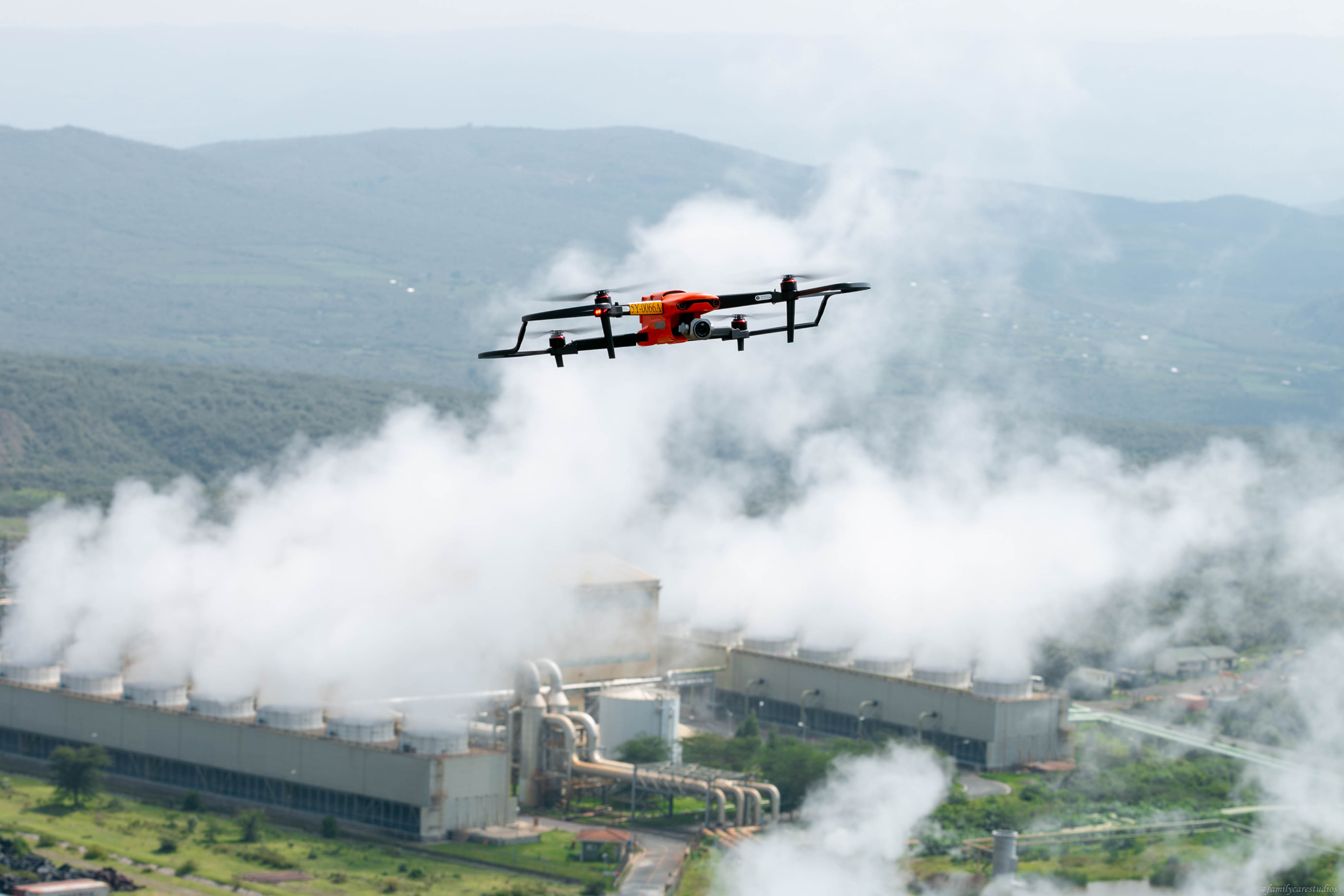
Safely detect issues early and extend asset lifespan using high-resolution imagery and 3D models.
Urban Planning & Development
Evaluate site suitability, optimize land-use, and plan efficient transportation networks with high-resolution data..
Drone Data Processing
Fahari Aviation's Expertise
At Fahari, we specialize in processing drone data to generate high-quality outputs for various industries. Our expert team uses advanced techniques and cutting-edge software to ensure accurate and reliable results.
Key Outputs
ORI (Ortho Rectified Imagery)
High-resolution imagery for digitizing features, legal proceedings, and inspections.
3D Dense Point Cloud
Used for creating 3D textured models, generating contours, and point classification.
DEM, DTM, DSM
3D data for Digital Elevation, Terrain, and Surface Models in various sectors.
Contour Maps
Essential for site selection, slope analysis, and civil engineering projects.
Software Utilized
To ensure the highest quality results, we utilize a range of industry-leading software solutions. Our team is proficient in using these tools to process drone data efficiently and effectively.

ArcGIS Pro

DJI Terra
How Drones Revolutionize Aerial Mapping and Surveillance
Our cutting-edge drone technology combines high-resolution imaging, advanced sensors, and AI-powered analytics to provide unparalleled aerial mapping and surveillance capabilities. This innovative solution enhances data accuracy, operational efficiency, and situational awareness across various industries.
High-Resolution Imaging
Capture detailed visual data for precise mapping, 3D modeling, and in-depth analysis of terrains, structures, and environments.
Advanced Mapping
Create accurate 3D maps and digital elevation models using photogrammetry and LiDAR technology, crucial for urban planning and environmental monitoring.
Real-Time Surveillance
Provide live feeds and instant data for security operations, search and rescue missions, and monitoring of critical infrastructure.

Revolutionize your projects with high-precision aerial mapping and surveillance
Our team of experts delivers cutting-edge drone solutions tailored for advanced mapping, surveying, and surveillance needs across industries.
GET IN TOUCH