DJI Zenmuse L1
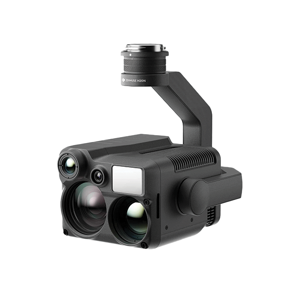
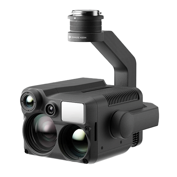
The DJI Zenmuse L1 is a comprehensive LiDAR mapping solution that integrates a Livox LiDAR module, a high-precision IMU, and a 20MP camera. This powerful combination allows for the creation of highly accurate 3D models and point clouds with RGB data fusion. Ideal for surveying, mapping, and inspection tasks, the L1 offers centimeter-level accuracy and efficient data collection capabilities, revolutionizing workflows in industries such as construction, infrastructure, and land management.


DJI Zenmuse L1
Description
The DJI Zenmuse L1 is a comprehensive LiDAR mapping solution that integrates a Livox LiDAR module, a high-precision IMU, and a 20MP camera. This powerful combination allows for the creation of highly accurate 3D models and point clouds with RGB data fusion. Ideal for surveying, mapping, and inspection tasks, the L1 offers centimeter-level accuracy and efficient data collection capabilities, revolutionizing workflows in industries such as construction, infrastructure, and land management.
Features
- LiDAR Mapping Solution
- Point cloud and RGB fusion, 3D modeling


